 I have been playing around with some augmented reality apps recently, including the Layar AR system, one of the most popular ones out there today. Layar provides a common platform for developers to share their augmented reality data using common standards, and then share them with a global community of users. There are currently more than 2,000 layers available on this platform, on everything from street art to food to real estate. Layar runs on various mobile devices including iOS and Android phones.
But what is something useful that you can do with augmented reality? Well, I'm a swing dancer in the San Francisco Bay Area. So I decided to create the SF Lindy Hop Venues augmented reality layer.
To make an augmented reality dataset that works with Layar might involve lots of coding knowledge and a server to host your data. Or you could do what I did and use the Hoppala Augmentation system.
Hoppola Augmentation is a free service for easily creating augmented reality layers for most of the common AR systems out there (Layar, Wikitude and Junaio). The interface is entirely web-based and requires no coding knowledge. Basically, if you have a bunch of locations already mapped out, have some multimedia and URLs to link to those locations, you can create an AR layer in a few minutes.
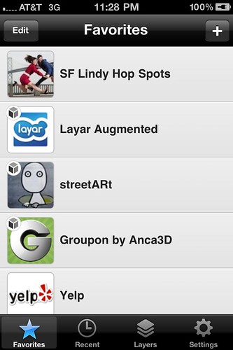
 To test out this service, I decided to create an augmented reality layer of the main venues for swing dancing / lindy hop in the San Francisco Bay Area. Basically I wanted a tool for finding out where I could find dancing that is near my location right now. If you are in the Bay, you can try it out by downloading the free Layar app for your mobile device, then doing a search for "SF lindy."
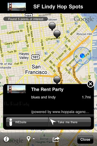
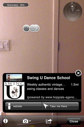
As you can see here, Layar locates you on a map using GPS, turns on your camera, and then shows you what "points of interests" or POIs are near you, using the radar scope on the top right corner. As you turn your device, the radar and POIs dynamically re-orient.
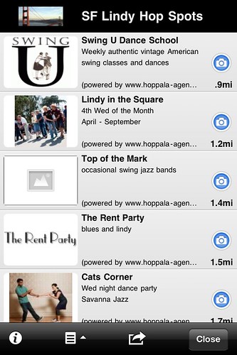
Clicking on an individual POI brings up more information, including a short description and a web or email link. Clicking on "Take me there" calls up Google map directions to that location.
I found using the actual radar / camera view kind of difficult to navigate. You can also change to a map view that might be easier to manage on your mobile device screen.
There are only a dozen or so POIs that I inputted into the system, covering everything from classes to swing dance venues to jazz clubs and bars that have some swing music nights. It's not really a practical tool for finding out where you can swing dance at a given time in San Francisco. Online resources like the Lindy List are still much better tools for that. But it does give you an interesting overview of what is available in the area.
 I could see this as being really useful for something like a music festival or large dance camp, where you might have a variety of venues all over the city, including places to dance, cheap hostels and hotels to crash at, good food in the area open late, local tourist spots, and other practical locales. For the Frankie95 Dance Festival in New York (which I helped organize) this might have been really useful. We had a thousand or so people at multiple spots spread out across the city, with last minute changes to venues and additional events and locales popping up every few hours.
Anyway, give my SF Lindy Layer a try if you are in San Francisco and are looking for places to get your swing on. SF is a great town for lindy hop and technology! Or better yet, make your own for your scene.
[Photo credit for SF Lindy main icon: fantastic dancers Ann Mony and Adam Boehmer]

I’m likely a little out of date on this, but FYI…
http://maps.google.com/maps/ms?ie=UTF8&hl=en&msa=0&msid=207965371811190552067.000001127eacd0bb241ef&z=8
Or better yet… http://goo.gl/M9udf
Watch our full video and be sure to like and comment and follow us if you can. Thank you.
https://www.facebook.com/adventurewithzubair/videos/572330530736151